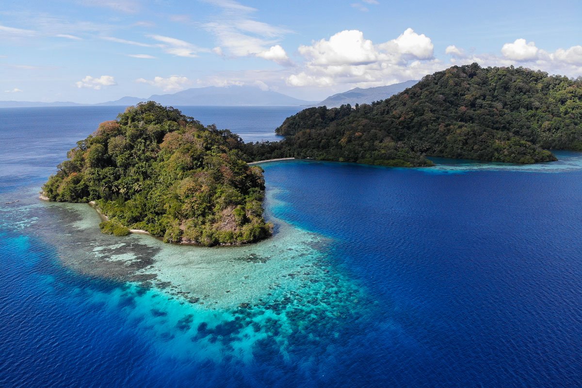
Halmahera can feel distant even by eastern Indonesian standards. Its long peninsulas, volcanic ridges, forested coast and scattered offshore islands rarely appear in the same travel conversations as Bali, Komodo or Raja Ampat. Yet the seas around Halmahera once sat close to the centre of one of the most important commercial stories in the world.
The reason was not gold or timber. It was the clove. For centuries, the small islands of North Maluku were associated with a spice that travelled far beyond the place where it grew. Ternate and Tidore, lying just west of Halmahera, became powerful sultanates and important points in trading networks that connected Maluku with merchants from elsewhere in the Indonesian archipelago and across Asia.
Today, travellers approaching the region aboard a Halmahera liveaboard may come primarily for remote reefs and uncrowded diving. The history is easy to miss because it does not announce itself at sea. There is no single monument that explains the entire Spice Islands story. The geography itself does much of that work: narrow passages, volcanic islands, protected anchorages and routes that once mattered because valuable cargo had to move by boat.
Why these islands mattered so far beyond Indonesia
Cloves are native to the Maluku region, and for a long period their restricted origin gave the islands extraordinary importance. A product grown on small islands in eastern Indonesia could pass through several hands and ports before reaching markets thousands of kilometres away. By the time spices arrived in distant trading centres, their value had increased dramatically.
This trade did not begin with Europeans. Asian and regional maritime networks had moved spices for generations before Portuguese ships reached Maluku. North Maluku was already politically organised, commercially connected and familiar with long-distance exchange. Ternate and Tidore were not passive places waiting to be discovered. They were rival centres of power with their own rulers, alliances and interests.
That distinction matters because the familiar European version of the Spice Islands story often starts with the arrival of foreign ships. The local story starts much earlier.
The Spice Islands were never remote in the way modern maps can make them appear. They were connected by sea, and the sea was the road.
Ternate and Tidore: small islands with global influence
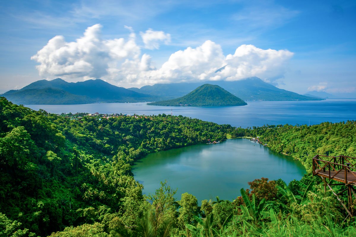
Ternate and Tidore rise dramatically from the sea beside the much larger landmass of Halmahera. Their physical size is modest, but their political reach was not. Both developed sultanates whose influence extended through surrounding islands and trading relationships.
Their rivalry became inseparable from the clove trade. When Portuguese and later Spanish interests entered the region during the sixteenth century, they encountered existing powers rather than an empty commercial frontier. Alliances shifted. Fortifications appeared. Competition over cloves became entangled with local politics, regional rivalries and European attempts to control maritime trade.
Dutch power later became dominant across much of the spice trade, particularly through the Dutch East India Company. Control was pursued not simply by purchasing spices, but through agreements, forts, restrictions and efforts to shape where valuable crops could be grown and sold. The struggle over spices was therefore also a struggle over territory, shipping routes and political influence.
Halmahera was more than the background to the spice trade
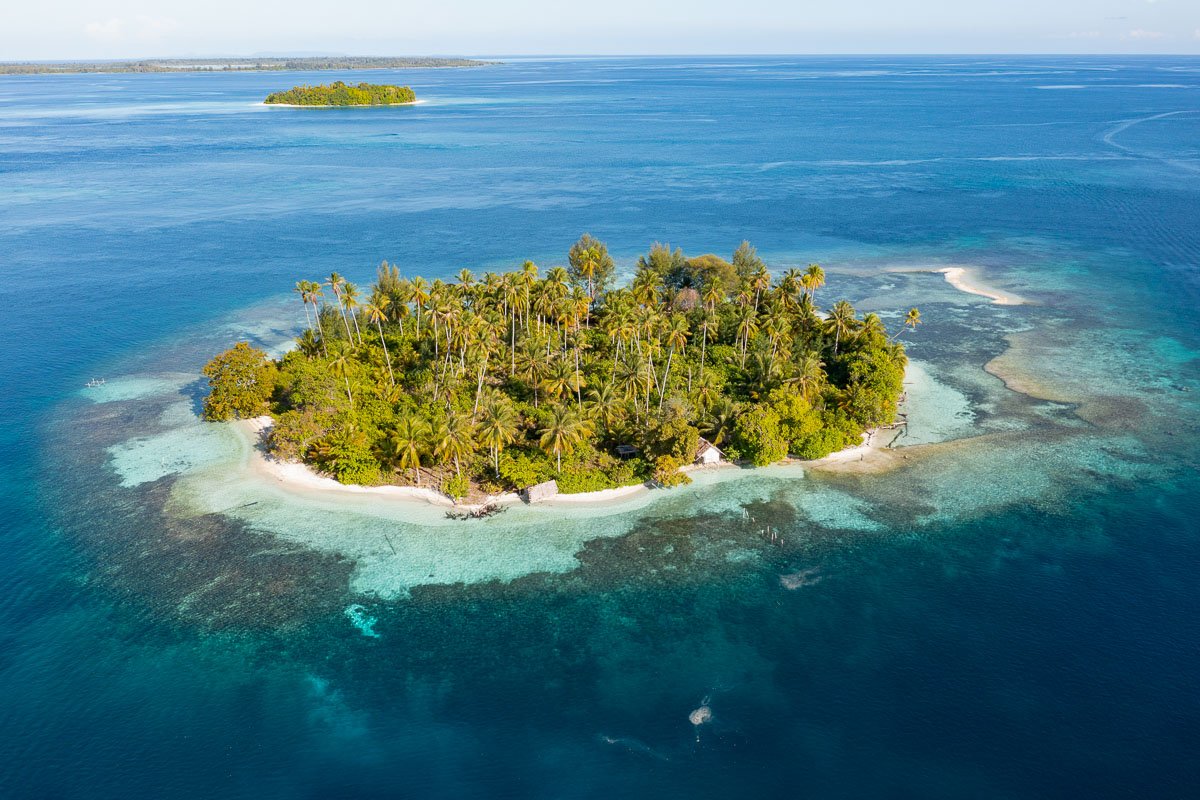
It is tempting to tell this story entirely through Ternate and Tidore because their names appear most often in historical accounts. Halmahera, however, formed part of the same political and maritime world. Its coastal settlements, bays and nearby islands were connected to the competing sultanates and to movement across North Maluku.
Other regional centres, including Bacan and Jailolo, also mattered. The result was not one simple empire or one straight trade route, but a network of islands whose relationships changed over time.
That complexity is one reason Halmahera still feels different from destinations built around a single famous attraction. Its identity is spread across a large landscape. A reef, a volcanic silhouette, a fishing settlement and an open-water crossing can all belong to the same journey without any one of them becoming the destination's only story.
Halmahera is best understood as part of a wider expedition.
Supraba sails Halmahera as part of a longer route linking eastern Indonesian regions rather than treating it as an isolated stop. The current schedule shows the published route, direction and available cabins.
From trading route to expedition route
A modern liveaboard obviously moves through these waters for very different reasons. Guests are not following spice cargoes or negotiating access to a clove market. Yet travelling by sea still changes how the region makes sense.
On land, Halmahera can appear fragmented because roads and settlements follow the island's difficult geography. From the water, the relationships between islands become clearer. Ternate and Tidore sit off Halmahera's western side. Smaller islands occupy channels and crossings. Bacan lies farther south. Routes toward Tifore, Lembeh and Manado continue through another chain of maritime landscapes.
Supraba's current Halmahera route uses the region as part of a longer expedition rather than presenting it as a conventional single-destination cruise. Diving around Pisang, Bacan and Tifore is shaped by weather, current and the captain's judgement, while the wider voyage connects Halmahera with other parts of eastern Indonesia.
That form of travel suits Halmahera. The destination has never been defined by one beach or one reef. Its character comes from movement through a large island world.
The history is still present, even when the voyage is about diving
Many guests will spend more time underwater than visiting historical sites. That does not make the history irrelevant. Understanding North Maluku changes the way the landscape is read.
A volcanic island is not only scenery. It may once have supported communities involved in clove cultivation and maritime trade. A channel between islands is not simply a crossing. It was part of a region where political influence depended on boats and access to the sea. Ternate and Tidore are not merely gateways on a map. They are places whose names were once known far beyond Maluku because of the commodity growing on their slopes.
This is also why the phrase Spice Islands deserves more than a decorative reference in travel copy. It describes a history in which small Indonesian islands influenced global trade, attracted foreign powers and became entangled in conflicts whose consequences extended well beyond the region.
What Halmahera offers a traveller now
Halmahera does not need to compete with Raja Ampat for fame or Komodo for immediate recognition. Its appeal is different. It gives travellers a sense of moving through a part of Indonesia where geography still dictates the journey and where a modern expedition crosses waters with a much older maritime story.
For divers, that journey includes remote reef systems and sites that see fewer visiting vessels. For non-divers, the scale of the coastline, volcanic islands and long sea passages give the route a strong sense of place. Aboard Supraba, the vessel itself becomes the connection between those environments, with cabins, shared dining spaces and open decks making the travel between locations part of the experience rather than dead time between attractions.
Readers considering the route should look at the published departures rather than searching for a fixed Halmahera season in isolation. The region is sailed as part of a wider itinerary, and exact embarkation points, direction and dive sites can change with the voyage.
That uncertainty is not a weakness. It is part of what separates an expedition through Halmahera from a destination organised around a predictable checklist. The strongest reason to sail here is not to collect one famous photograph. It is to understand a large, complicated island region by moving through it.
Sources: UNESCO — The Land Below the Wind: Spice Trade Route · Indonesia Travel — Ternate and Tidore